


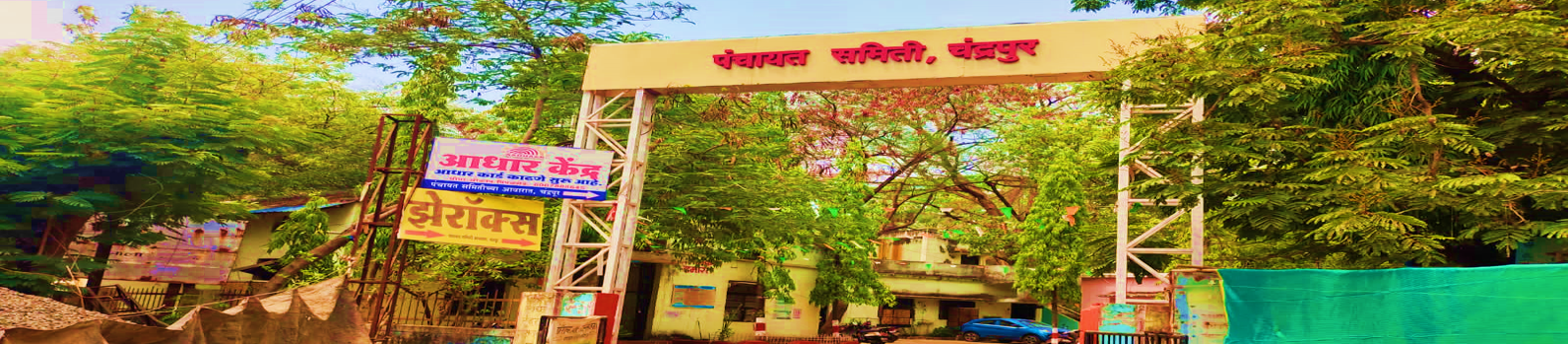
Panchayat Samiti Chandrapur
Chandrapur (formerly known as Chanda) is the administrative headquarters of Chandrapur district. The city is home to ancient temples of Shankar (Ankleshwar) and Mahakali. The Chandrapur belt is rich in mineral resources. There is a thermal power plant at Durgapur, about 5 km from this village. The Gond king Khandakya Ballalshah founded the city of Chandrapur in the 13th century. Chandrapur was the capital of the Gond kingdom at that time. It was previously known as Chandagarh. It was also called Chanda. On 11 January 1964, Maharashtra Government Resolution No.> N.M.C./1063 was issued. Accordingly, its name was changed from Chanda to Chandrapur.[1] Chandrapur and its surrounding areas are rich in high-quality coal. Therefore, Chandrapur is known throughout India as the Black Gold City (Marathi: काले सोनाचे शहर). There are many cement factories near Chandrapur city. For example, Larsen and Toubro Limited (L&T), Manikgarh Cement. There is a famous temple of Mahakali, or Kali Mata, here.
