


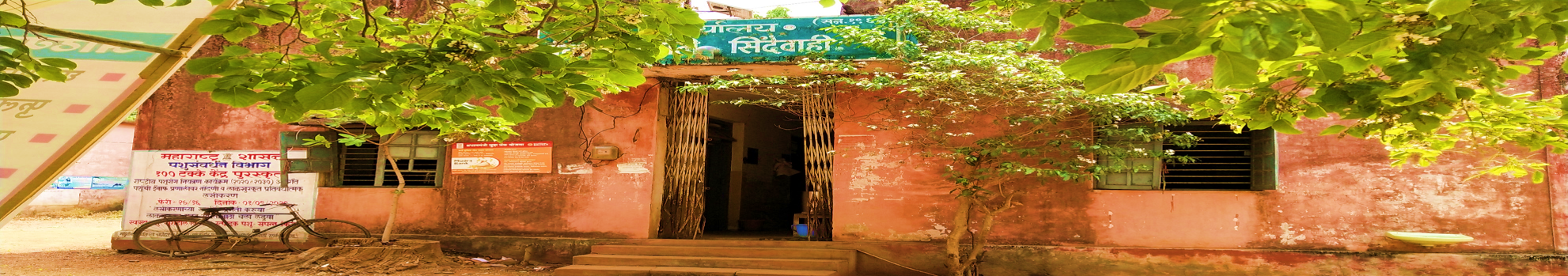
Panchayat Samiti Sindewahi
Sindewahi is a Nagar Panchayat (administrative status) town and is about 70 km from the district headquarters. There is a Rice Research Center in Sindewahi and various researchers work to discover new varieties of rice. There is a Gram Sevak Training Center here and basic/refresher training of Gram Sevaks from various districts (Gadchiroli, Chandrapur, Gondia, Bhandara) is completed through this center. There are attractive tourist places like Ghodazari Lake and Asolamendha Lake near the taluka. Sindewahi area is completely covered with forest and many wild animals are found in the area. Sindewahi has a railway station and it is the central point of the railway on the Gondia-Nagbhid-Chandrapur route. Ladbori and Ramala are notable villages in the taluka. Sindewahi town is located on State Highway 9 (Nagpur-Nagbhid-Mul-Chandrapur State Highway). Tourist places – Ghodazari Lake, Asolamendha Lake, Tadoba Andhari Tiger Reserve, Jungle Safari, Sirkada Gate, Pangali Gate, Mohali (Naleshwar) Dam
